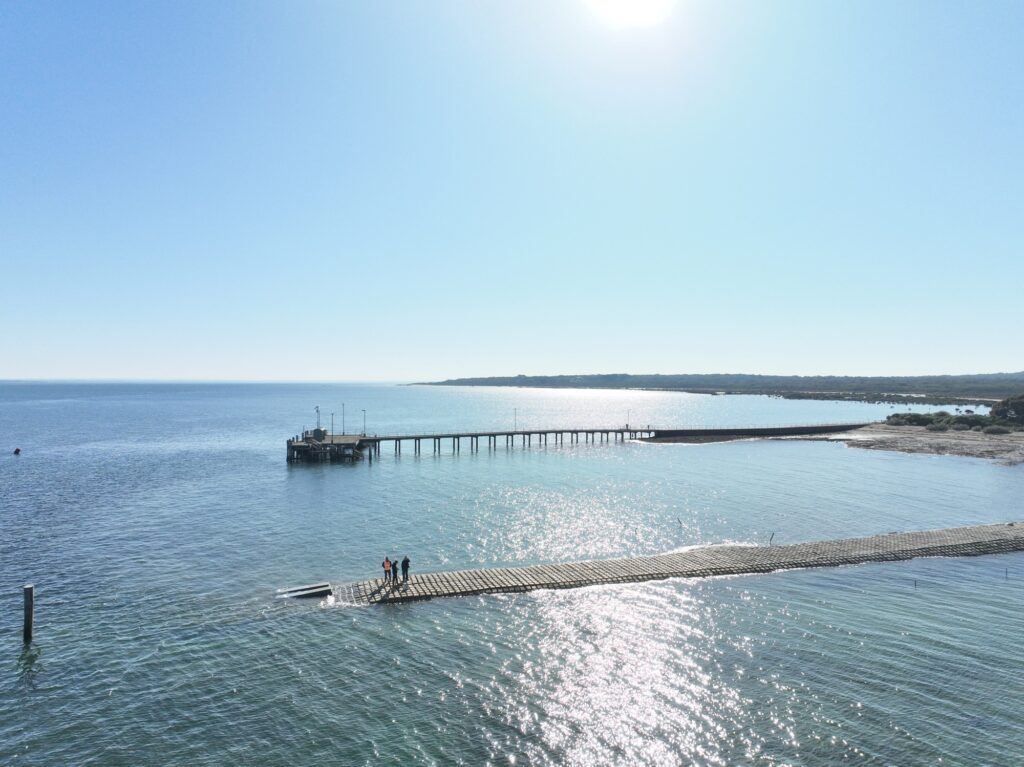
The Tankerton boat ramp has been upgraded to make access easier for recreational boaters and reduce ongoing maintenance.
Construction is complete on the Tankerton boat ramp. The rock causeway is now covered with concrete blocks, creating a better, more wave resilient surface for vessels to launch from.
Recent upgrades are thanks to the Victorian Government’s Better Boating Fund, which reinvests recreational licence and registration fees into projects and programs across the state.
Construction commenced in December 2024 and the ramp is now re-open available for launching from July 2025.
Designing for length and durability
A team comprising of specialist maritime and coastal engineers were engaged to create the concept and detailed designs for the Tankerton boat ramp upgrade.
The concept of using articulated concrete mats to cover the length of the causeway was developed in early 2023. This, as well as subsequent design refinements, were shared through the French Island Community Association (FICA) and with local stakeholders.
Site investigations including site feature & bathymetric surveys, geotechnical investigation, marine ecological and coastal processes studies were completed to guide the design process and ensure there is no impact to the surrounding environment.
What’s happening right now?
Contractors Maw Civil Marine (MCM) have completed the construction of the project.
The project has delivered the following:
Ongoing management and maintenance
The exposed nature of the French Island’s renewed causeway will require ongoing monitoring and maintenance.
Screw piles, tensioned chain stays, and concrete anchor blocks lock the concrete mats into place to withstand Westernport’s prevailing southerlies. Additional resources have also been placed at the ramps most exposed edge, vulnerable to wash out.
A degree of mat movement will naturally occur, requiring ad hoc re-setting, backfilling or block mat replacement. Better Boating Victoria is committed to support the French Island community continually monitor and maintain the causeway for the structure’s lifetime.
Advice to boaters
A special marker is in place to identify the end of the ramp when fully submerged. Please navigate with caution when using the ramp at high tides.
The improved driving surface is the same length as the previous structure and is not suitable for low tide launch and retrieval. Boaters are encouraged to plan their journeys to avoid low water.
The ramp’s driving surface is made of large connected blocks of concrete. Depending on local coastal processes, gaps may have unstable rocky infill or voids. Caution is required when traversing the surface on foot.